


These days, most hikers take those 80,900 white blazes for granted, but when the A.T. project began in 1921, the white blaze was not the symbol hikers followed up and down the Trail. At first, the Trail was little more than an idea and a cluster of disconnected sections of trail, largely utilizing existing trail networks. It’s likely that local trail authorities and Clubs simply put up signs designating this or that section of a trail as the “Appalachian Trail.”
Then, in 1923, a group of A.T. founders, including William Welch, Benton MacKaye, Raymond Torrey, Harlean James, and several others, met in Harriman State Park in New York. They agreed to use a copper marker designed in the machine shop at the park. Those first markers said “Appalachian Trail. Palisades Interstate Park Section” and quickly went into use between the Hudson and Delaware rivers. The markers also used the now familiar A.T. logo.
With a standard trail marker agreed to, it was time to start nailing them up from one end of the Trail to the other. In a letter to ATC chairman Arthur Perkins, Myron Avery (who would soon assume the role of chairman) wrote, “Markers should be used every quarter of a mile to assure the Traveller [sic] that he is on the Trail.” Avery also advised the Clubs to put up markers at road crossings and intersections with other trails.
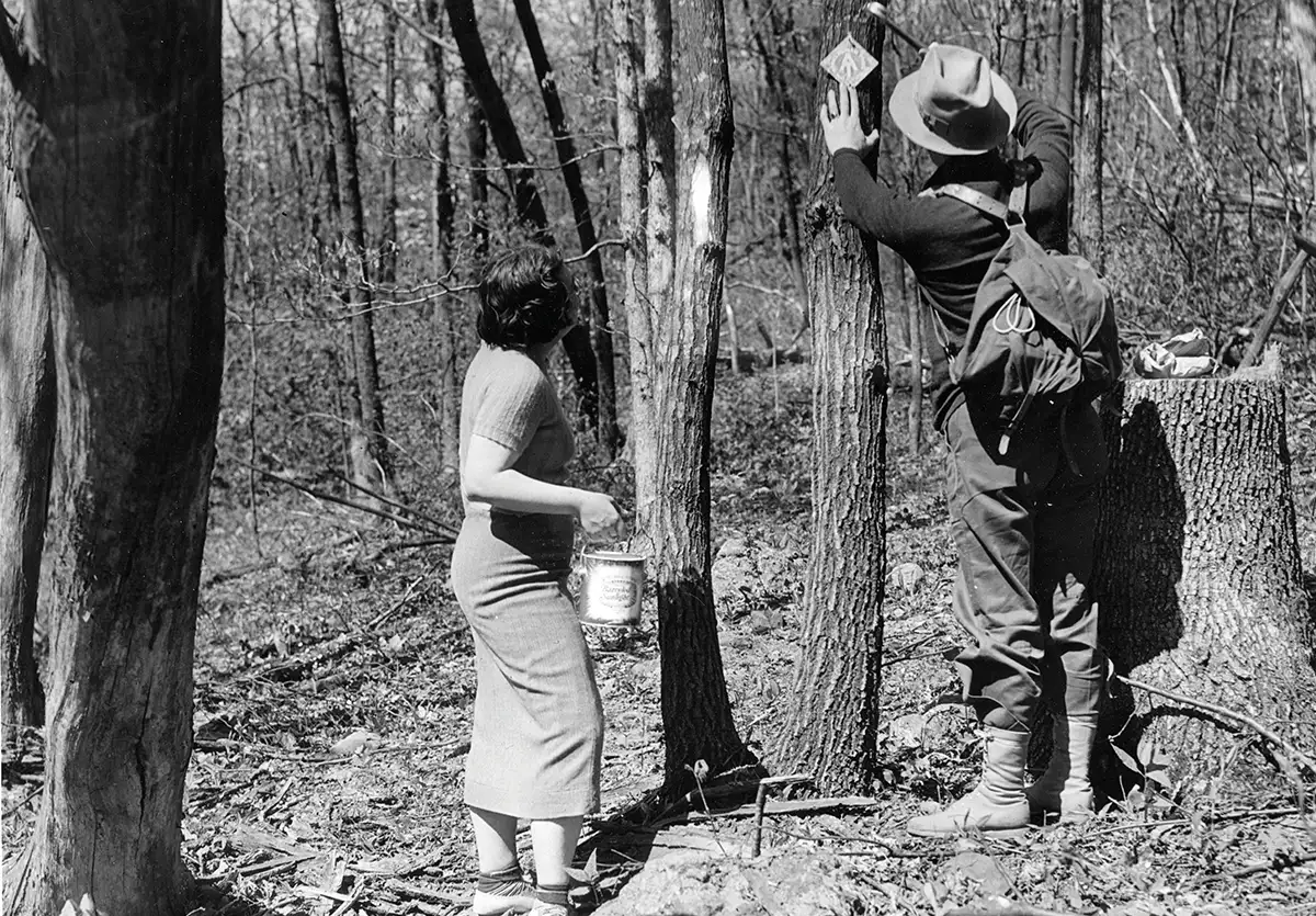
Photo courtesy of the ATC
The markers weren’t cheap. In today’s dollars they cost around 50 cents each, which doesn’t sound like a lot until you understand two things. First, the ATC was ordering them by the thousands. So in the spring of 1931 Avery wrote Perkins that he had just purchased 3,200 markers for $93 (around $1,800 today). Second, the ATC was not able to raise large amounts for expenses. The only way the Conference could spend the money necessary for purchasing all those tin markers was for Arthur Perkins to underwrite the cost out of his own pocket, which he did.
Perkins was a wealthy man who was more than happy to cover the expenses of the Conference, but he died in 1932. This meant that the Conference had to depend on its meager sources of income — dues paid by individuals and the Clubs and money from the sale of trail guides — to finance everything from rent for its offices to pay for its tiny staff to things like trail markers. Without Perkins, the ATC had to look at other methods for marking the Trail.
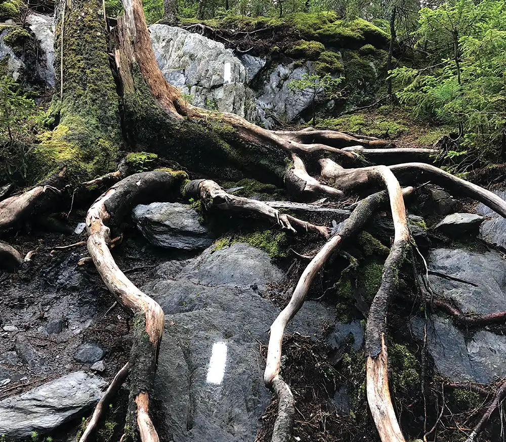
Photos courtesy of Laurie Potteiger/ATC, Kemper Mills Fant, Sarah Jones Decker, and Rachel Lettre/ATC

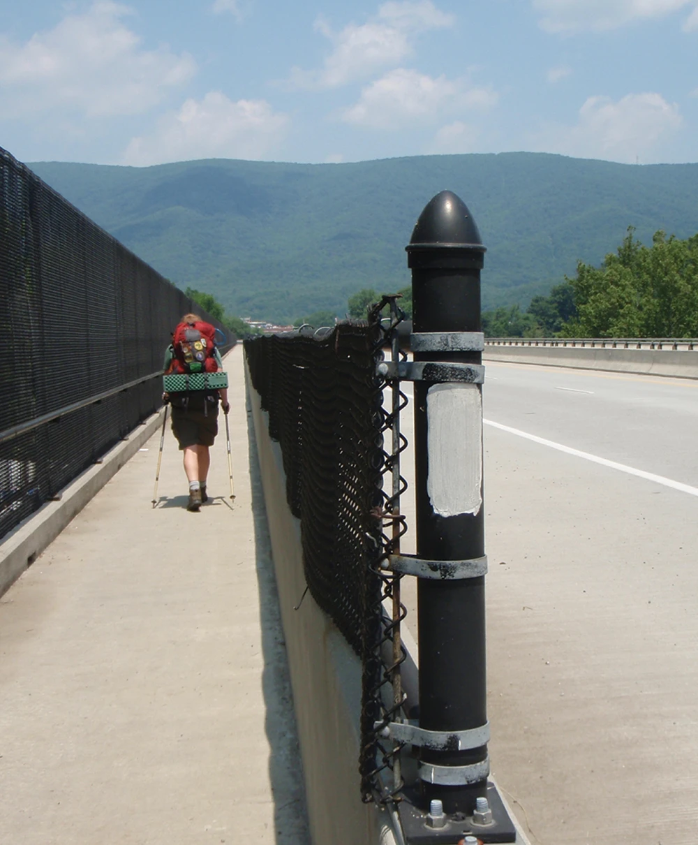
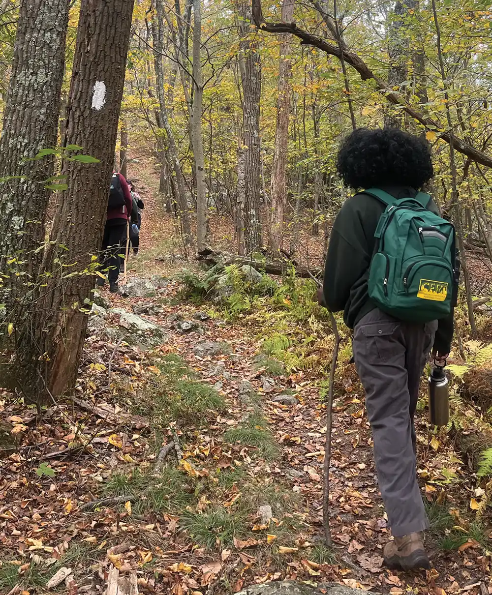
Since the ATC could no longer afford to purchase the metal markers, they went all in on blazing, though some of the Clubs were still putting up markers along their sections at least into the 1960s and likely much later. During my section hikes over the years, I’ve passed half a dozen of those metal markers, most of them now deeply embedded in the bark of the tree they are nailed to. Given that the metal eventually rusts, the markers I’ve seen can’t be more than a few decades old.
In addition to putting up markers, building cairns on sections of the Trail that are treeless, painting blazes on rocks, telephone poles, bridges, guardrails, and just about anything else handy, the ATC and the Clubs placed signs at road crossings and major trail intersections to guide hikers on their way. For decades, those signs were white with black lettering, but in the 1960s the Clubs increasingly adopted the now familiar dark wooden signs with either yellow or white lettering.
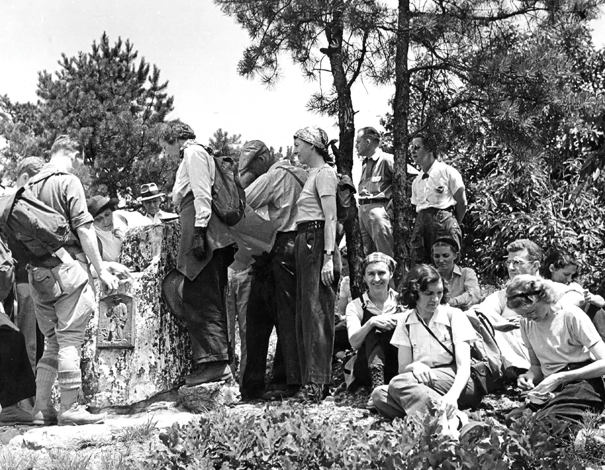
PHOTO COURTESY OF THE ATC
Like the metal markers, wooden signs were often subject to theft or abuse — and not just abuse by hikers. Various animals, but especially bears, have enjoyed chewing on them, rubbing against them, and sometimes even breaking them apart. Throughout the 100 years of the Trail’s existence, hikers have also felt the need to carve their initials into signs or to write on them.
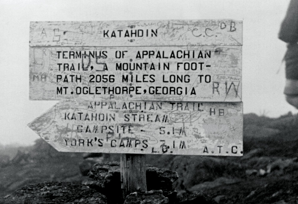
The sign atop Mount Katahdin is one of the most iconic symbols of the Appalachian Trail, but the familiar sandwich board signs have only been on the summit since the 1960s. Clyde Smith, a sign maker from the Roan Highlands of Tennessee, made the first version of the sign. Ever since, hikers — especially thru-hikers — have aimed for that symbol of the Trail’s northern terminus.
The earlier version of the Katahdin sign was not so iconic and, like so many signs along the Trail, was regularly abused by hikers as early as the 1930s. Because replacing the sign meant climbing the mountain, members of the Appalachian Mountain Club tried a novel approach and put up a new sign just for hikers to write on. Not surprisingly, hikers just kept defacing the primary sign.
Perhaps the most spectacular example of the abuse of a trail sign was the theft of the very heavy bronze plaque placed at what had been the Trail’s midpoint at Centerpoint Knob in Pennsylvania. Sometime between 1940 and 1948, thieves made off with the marker, which was bolted to a boulder. Photos show it was there in 1940, but in 1948, when Earl Shaffer — the first person to hike from Georgia to Maine in one season — took his photo there, the marker was missing. In the 1990s, the marker turned up buried in a farmer’s field nearby and was donated by that farmer to the A.T. Museum in Pine Grove Furnace State Park. A facsimile was placed at the old halfway point a few years ago.
Apparently, owning one of the Trail’s heavy bronze plaques was something more than one thief aspired to. In 1958, someone stole a similarly large and similarly heavy (120 pound) bronze plaque that had been bolted to a boulder at the site of the old Kittatinny Inn at Delaware Water Gap.
Mostly, though, hikers leave the Trail’s signs and markers alone. In recent years several thru-hikers have felt the need to deface blazes, shelters, signs, and just about anything else with permanent marker, but those hikers — like the sign thieves of yore — are fortunately the exception rather than the rule.
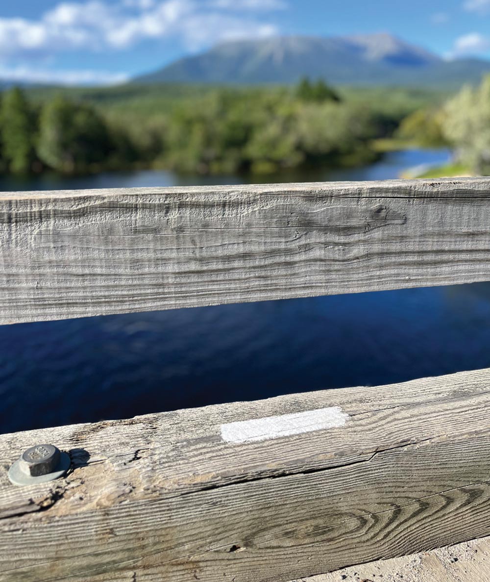
PHOTOS COURTESY OF THE APPALACHIAN MOUNTAIN CLUB LIBRARY & ARCHIVES AND MIKE RUDD
I’m quite certain that he would have been very happy knowing that there were exactly 80,900 white blazes between Maine and Georgia.
Mills Kelly is an emeritus professor of history at George Mason University and the author of the new book A Hiker’s History of the Appalachian Trail. He is also the author of Virginia’s Lost Appalachian Trail and was the host of The Green Tunnel Podcast, a podcast on the history of the Trail. You can learn more about Mills on his website at: millskelly.net