Photo by Abigail Ridaught
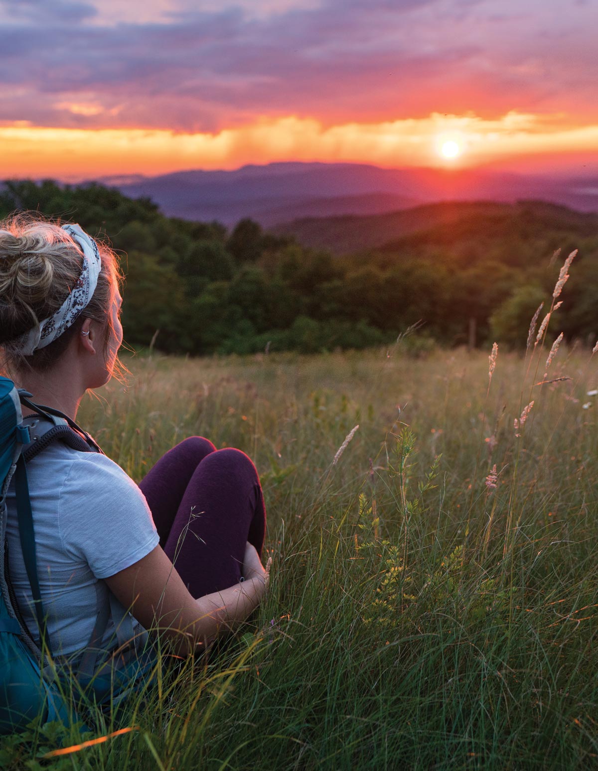
Photo by Steven Yocom
– bell hooks
Photo by Abigail Ridaught
A meditative sunset along the Trail on Max Patch.
Photo by Steven Yocom
Max Patch has long been a popular destination for hikers and view seekers, but that popularity has brought misuse and destruction of critical habitat. Thanks to the dedication and collaboration of the Appalachian Trail Conservancy (ATC), the Carolina Mountain Club (CMC), and the U.S. Forest Service (USFS), it is now undergoing a variety of restoration efforts that favor native flora and fauna while keeping it open and accessible to hikers and visitors.
Every landscape has a history and a story to tell and is inevitably shaped by those who live near it and use it. Each Appalachian bald is unique in its being and creation. Some balds are of natural origin, others have been created for agriculture. These days, the balds are actively maintained as some of the ecological mechanisms that kept them open have been interrupted. Remnants of the last ice age, when a colder climate drove a climatic treeline in the southern Appalachians, many of these grassy balds were used for grazing areas by prehistoric megafauna until their extinction. More recently, elk and bison found their way up to these high points. When they were hunted to near extinction, many balds reverted to their original forested state; however, Max Patch was clearcut for lumber and to graze cattle and is maintained as a grassy bald today.
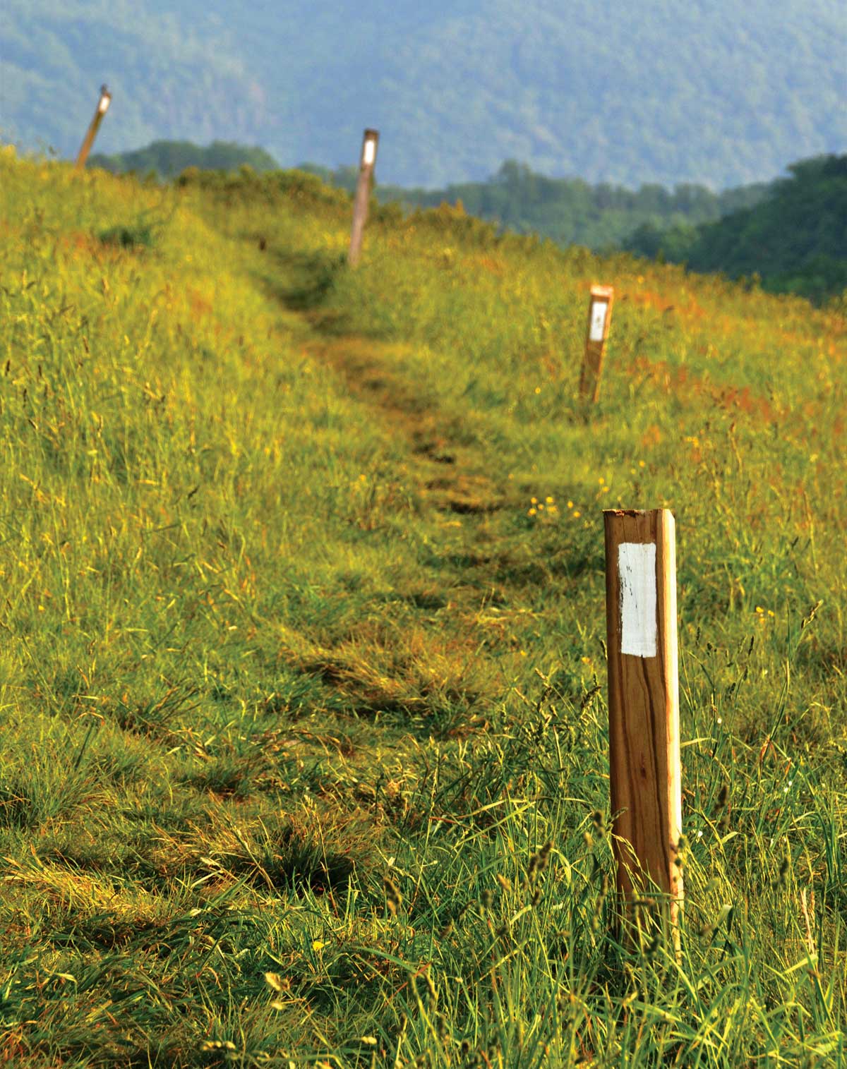
Photo by Sarah Jones Decker
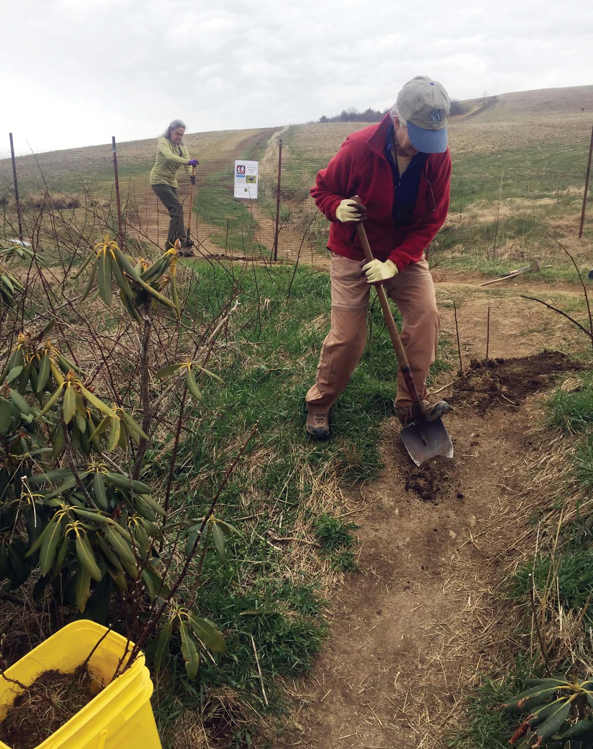
Photo by Matt Drury
Over the past few years, Max Patch has become incredibly popular for hikers and campers who are looking for easily accessible, expansive views and the exulting feeling of being above the valleys and among the ridges. With the advent of the internet, Max Patch was discovered as a beautiful, easily accessible destination and use began to rise. Due to this increasing use and issues it caused, in 2017 the ATC organized a planning effort using the Interagency Visitor Management Council’s planning framework in cooperation with the CMC and Pisgah and Cherokee National Forests. Work to mitigate increasing camping on the summit had already started when, during the pandemic, the amount of people camping and using the area reached a breaking point. In 2020, a drone photo captured over a hundred tents and human debris scattered across the bald. With overuse came the destruction of habitat, human waste, and trash scattered where there should be tall grass and wildflowers. It looked like Max Patch was being loved to death. A Forest Supervisor’s Closure Order began in July 2021, which limited Max Patch to a day use area for hikers in an effort to mitigate the user impacts. Max Patch’s popularity persists and much is being done to restore it to a more pristine state.
The CMC works hard to maintain roughly 94 miles of the A.T., including the Max Patch, along the border of North Carolina and Tennessee. With help from the USFS and the ATC, they launched a Trail Ambassadors Program in 2019 that helps educate users about and monitor Max Patch. These volunteers are trained by the club and go to the Trail at peak user times. They collect data on user trends at Max Patch and help educate visitors on Leave No Trace ethics. It is through programs like these that we become better stewards and users of the A.T. and its surrounding ecosystems.
This isn’t the only important landscape that’s being protected through strong partnerships with an acute awareness of effective conservation efforts. Similar work is happening on McAfee Knob, a famously dramatic rock outcropping located in Virginia that offers stunning views of the Blue Ridge Mountains. Thanks to efforts of the ATC, Roanoke Appalachian Trail Club (RATC), The Conservation Fund, and the National Park Service (NPS), hundreds of acres have recently been preserved around Dragons Tooth, McAfee Knob, and Tinker Cliffs where the Trail’s protected corridor is particularly narrow. A complex system of stakeholders is currently lending their collective expertise to devise a visitor use management (VUM) plan for the area. The NPS is working to ensure the management partnership has a well-supported and thorough plan that is expected to be complete later this fall. The RATC is contributing their deep knowledge of visitor use patterns and of the resource itself. They’ve also raised significant funds, in partnership with the ATC, to purchase a property adjacent to the existing McAfee Knob parking area, which will allow for a more thorough implementation of the VUM plan’s recommendations once enacted. The RATC has been important in making sure that any developments to the Trail reflect the unique and irreplaceable character of this iconic location. These conservation efforts built around strong collaboration, much like the ones that are happening on Max Patch, will effectively manage use while also preserving the ecosystem of these incredible areas.
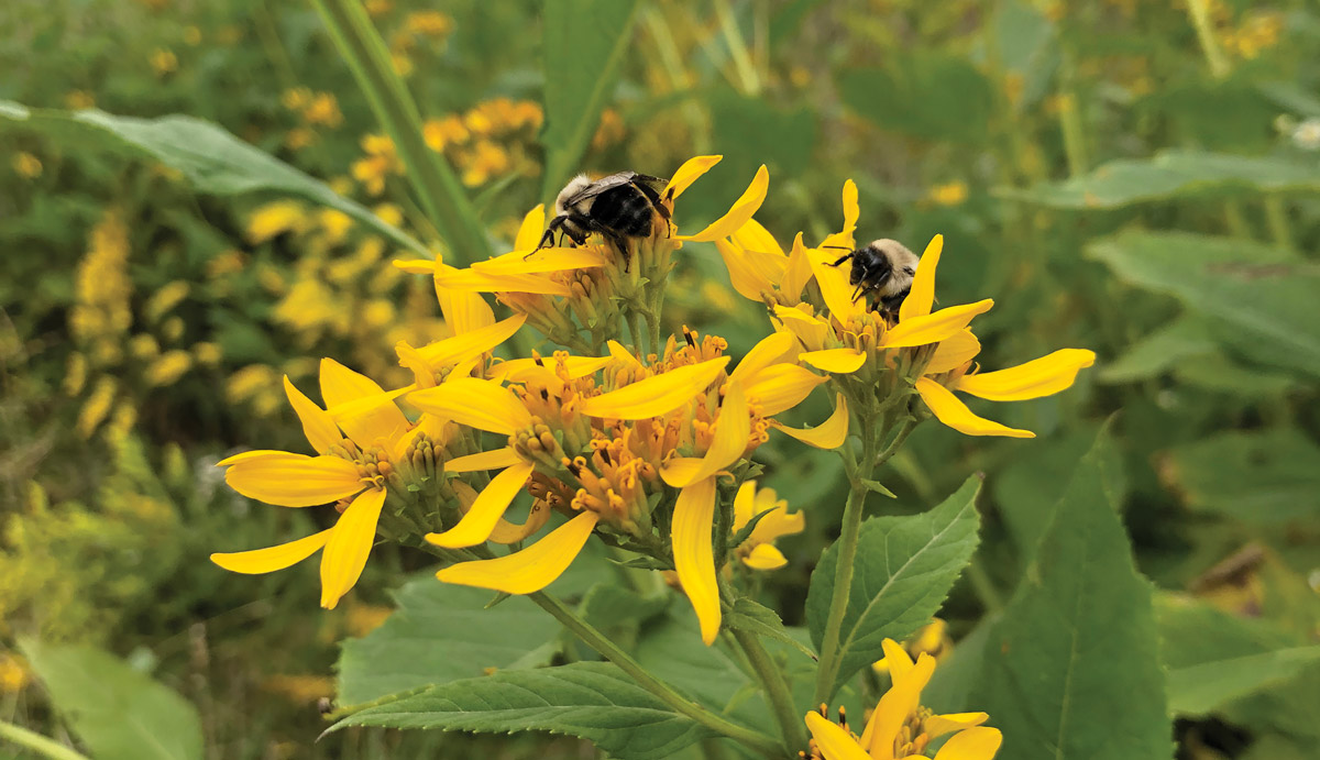
Photo by Abigail Ridaught
We venture into nature because we want to experience a vibrant world shaped by relationships between its plants and animals. The conservation efforts to rewild Max Patch are guiding it into an ecologically functional bald that reflects our changing understanding and relationship to a landscape. With a deeper understanding of what a native, biodiverse ecosystem looks like and how it functions, Max Patch is evolving into land that can be loved by more than just humans. Already, bees and butterflies are flickering across the purples and oranges and yellows of the wildflowers that bloom across the bald, and one day it may become a breeding ground for golden-winged warblers who nest in its native bushes. Max Patch is proof that a place can be open to managed, responsible recreation while still being allowed to grow into an ecologically dynamic landscape.
He was the 2021 artist in residence for the Bob Marshall Wilderness Area. mgarrigan.com