

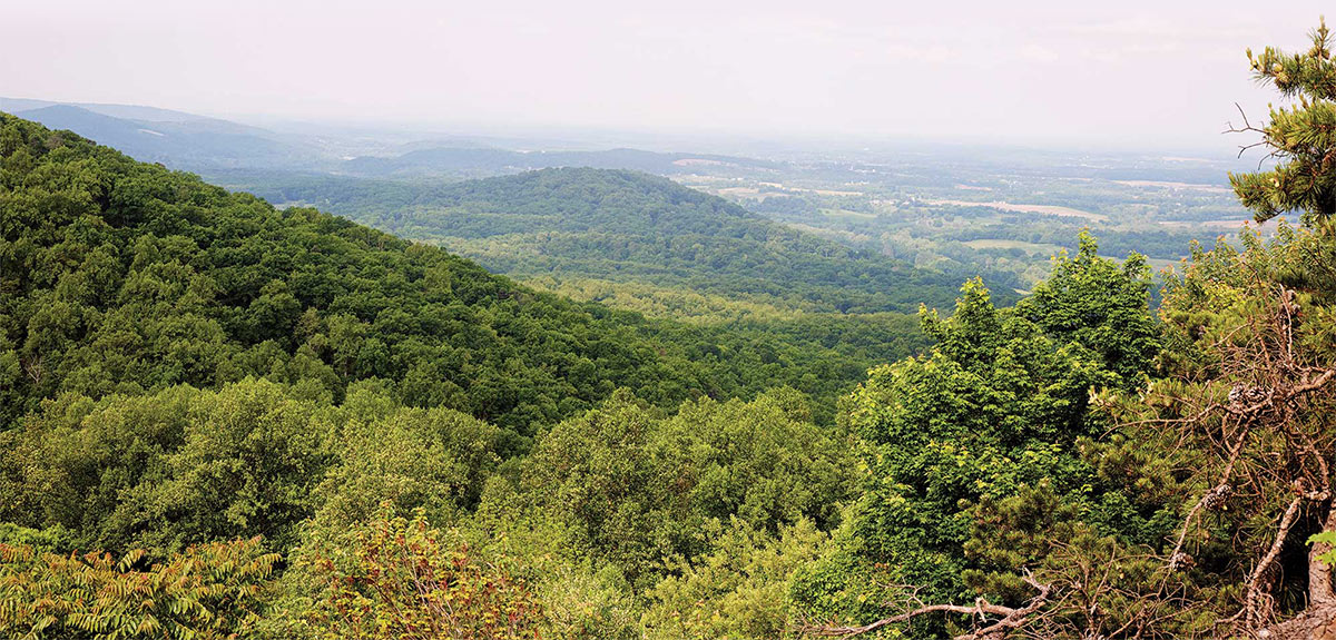
Listening in to their conversation, you might be struck by how similar it is to the discussion an art historian or critic might have about a work of art. Team members mention focal points, color and texture, forms, lines, balance, and symmetry. They ask one another: Is the viewscape vibrant and colorful? Does the foreground overpower the view of the landscape further from the Trail? Does the viewed landscape include a wide range of the features one would expect for this region?
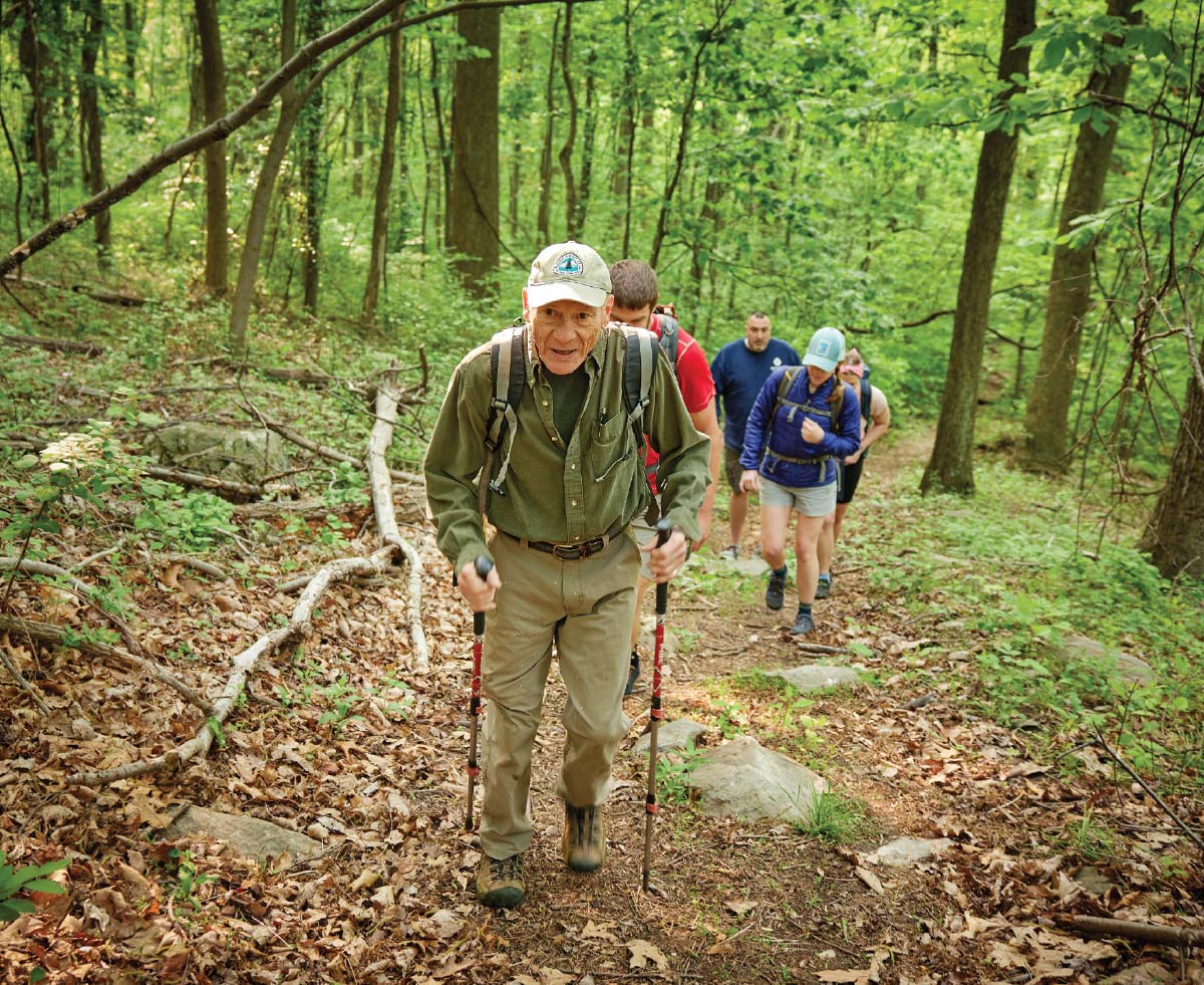
The crew has been spending the spring and summer tracking scenic views along the A.T. through West Virginia and Maine. It’s all part of the Visual Resource Inventory (VRI), initiated after a successful 2019 pilot effort. The work on the Trail itself was started in 2021 in Pennsylvania, then continued in New Jersey and Maryland last year.

“Protecting views is important to visitor enjoyment, public well-being, preservation of our natural cultural heritage, and oftentimes local economies,” said Pamela Roy, VRI program manager at the ATC.
And while beauty may be in the eye of the beholder, just being around it makes us happier. According to a 2019 study that leveraged data from a smartphone app, Mappiness, individuals report being happier when they are in more scenic locations — even when the individuals’ income level, the specific activity they’re engaged in, and the weather are taken into account.
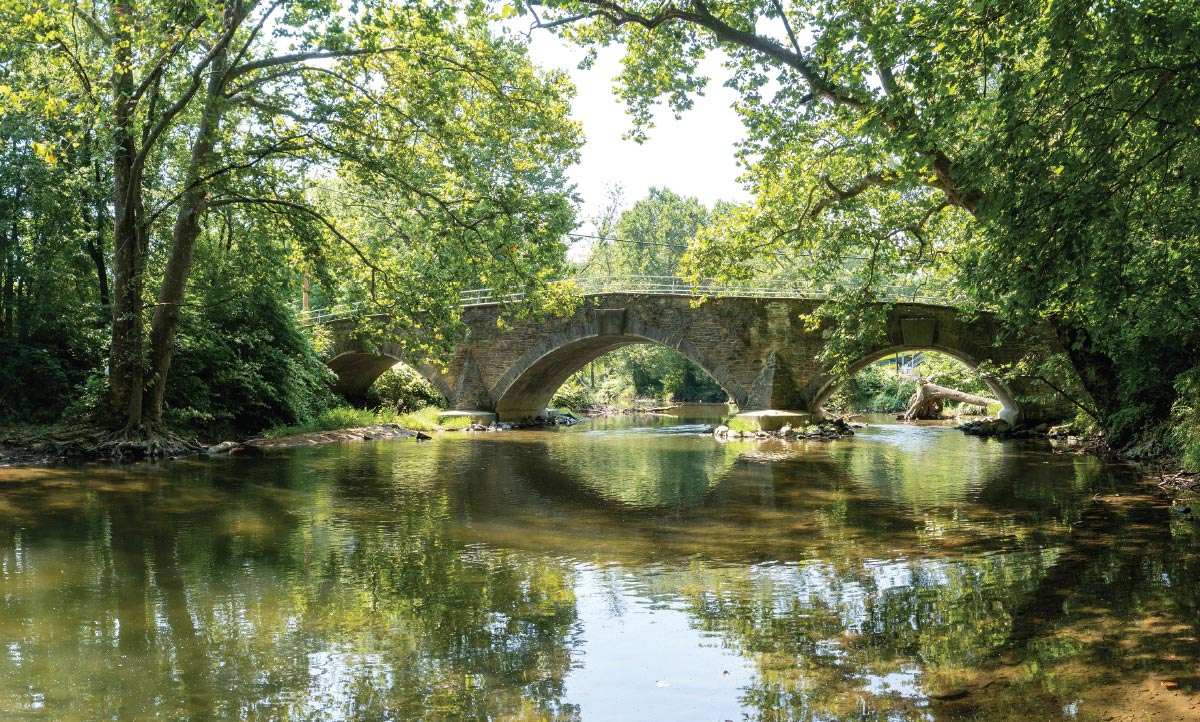
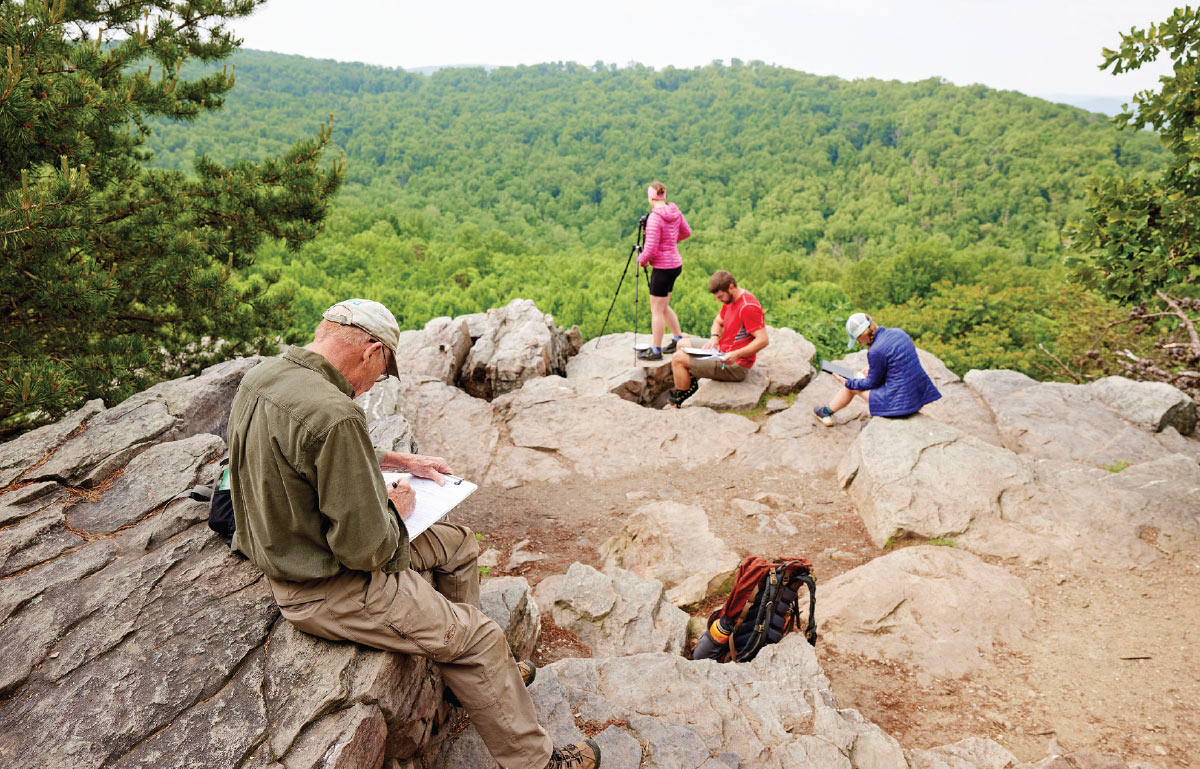
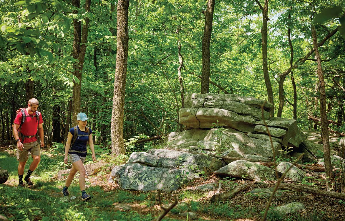
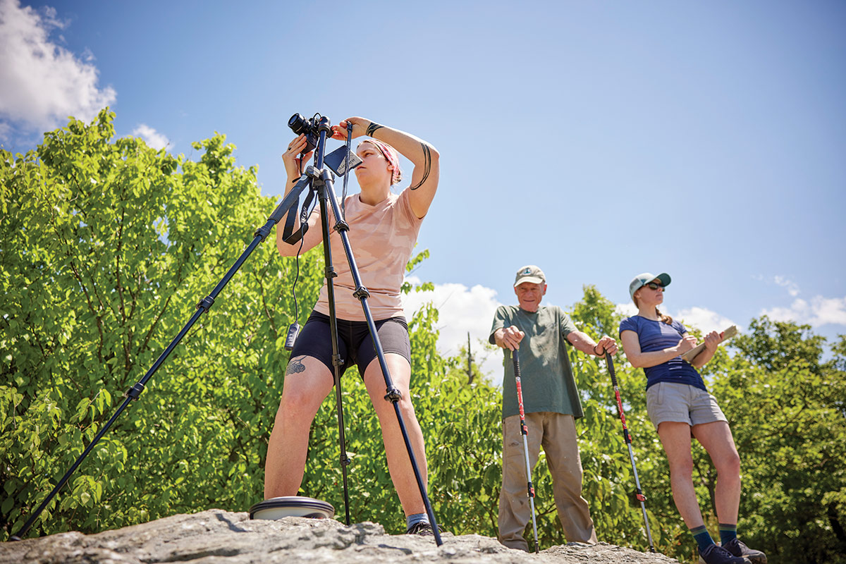
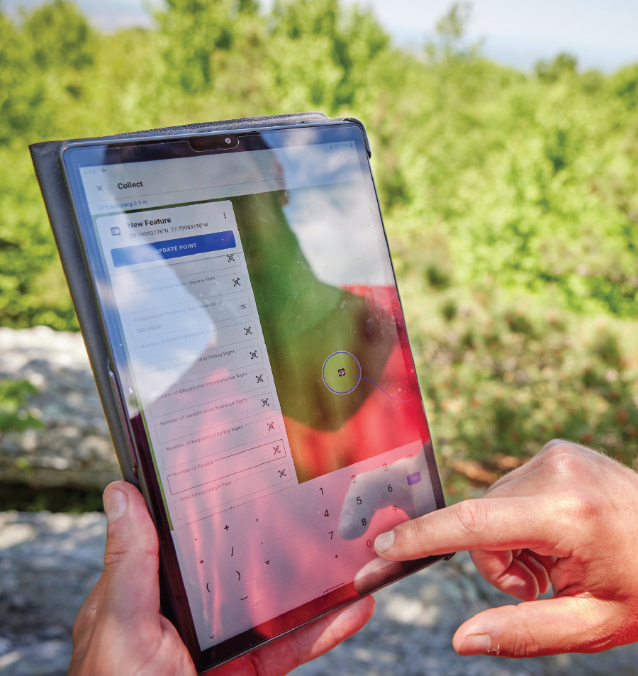
The VRI project aims to apply a methodical, objective process to make an aesthetic determination. The teams hikes a section — covering roughly 35 miles per week — to collect documentation, identify the type of view seen (“natural,” “agricultural,” “rural,” or “suburban”), and assign a score for each view. The team considers attributes, characteristics, and features, such as landforms, bodies of water, roads, buildings — anything and everything, both natural and manmade, moving and stationary — that is visible from the Trail. (These can be referred to as a view, viewscape, viewshed, or scenic resource.)
“We are creating a baseline for monitoring visual changes over time to help us understand the visual impact of potential projects and developments within the viewshed,” Roy said.
The main uses of the VRI dataset are to protect the land surrounding the A.T. and to create a better visitor experience through appropriate management at viewpoints. Landscapes aren’t static: they are at risk of changing, being developed, or subject to a slow alteration over time.
“We want to understand how we can protect scenic views,” said Marian Orlousky, director of science and stewardship at the ATC. “Impacts aren’t something that you necessarily see in a single visit. But if you’re visiting a view over a decade, you might start to notice that it has changed significantly. That’s something that we can now track through the VRI process and understand how landscapes are prone to changing in both the short term and the long term,” she added.

“It can definitely be a challenge to set aside that emotional attachment to a place or the subjectiveness that can creep in,” Orlousky said. “But I am a scientist by training, so I’m used to following a protocol, following a process. And I think it’s always good to have the balance of other people working with you to keep you in check and make sure that you’re staying as objective as possible.”
“I really enjoy the visual resource inventory process because it allows me to stop and think about why I love views or what makes a great view and what is important to me,” Orlousky added.
The VRI is therefore providing a baseline data-based inventory of all views, which is critical to Trail management and conservation.
“If we want to continue to manage and conserve the Trail, the corridor lands, and beyond, we need to know what’s out there,” Roy said.
Scoring all of the views along the 2,198-mile Appalachian Trail is daunting to say the least, but it also creates opportunities for partnerships. To date, partners have included the National Park Service, U.S. Forest Service, state agencies, and the Trail maintaining clubs, among others. Other nonprofit partners such as the Kittatinny Coalition, Heart of Maryland Conservation Alliance, and the Maine Appalachian Trail Land Trust join in because they want the data to help fulfill their needs for management and protection.
The data collected from the VRI program will help the ATC and its partners determine the funding and other resources needed to protect the A.T.’s scenic resources so future generations will be able to enjoy them. The photographs of both pristine and significantly impacted views will demonstrate what could happen if we are not proactive in advocating for their conservation — and will help educate the public and policymakers alike about how important (and fragile) A.T. scenic resources truly are.
And while there are many planned uses for data, the sky is the limit for how the photos and information collected could be leveraged in the future. “There’s a lot of unknown potential about how we could use the data in the future,” Orlousky said.
Ironically, both Roy and Orlousky have academic backgrounds in not only science but art. And like great art, “Outstanding views provide unique experiences, they build a connection between the visitor and the landscape, and they inspire,” Orlousky said.